
As per the National Census of the Bangladesh Government – 2011 (BBS), The Daudkandi upazila in Comilla district occupies an area of 314.99 sq. km. (121.62 sq. mile) It is located between 23°25' and 23°39' north latitudes and between 90°31' and 90°53' east longitudes. As on 2011 the population is 3,49,910. The upazila is bounded on the north by Titas and Meghna upazila (previously bounded by Homna upazila), on the east by Muradnagar and Chandina upazilas, on the south by Matlab and Kachua upazilas of Chandpur district and on the west by Gazaria upazila of Munshiganj district. Daudkandi upazila has 15 Unions, one Pauroshava, 168 Mouzas and 267 Villages.
Daudkandi upazila came into existence in 1858 as thana. There are different views about the origin of the upazila name. It is believed that the upazila might have derived its name from the name of Daud Khan, the son of Solaiman Karrani who declared himself as the independent ruler of Bengal during the reign of Emperor Akbar. The second view is that during British rule, the present area where the upazila headquarters is located was known as Devid Skendi. It is generally believed that the upazila name Daudkandi might have been derived from the words Devid and Skendi with some phonetic corruption.
Viewers,
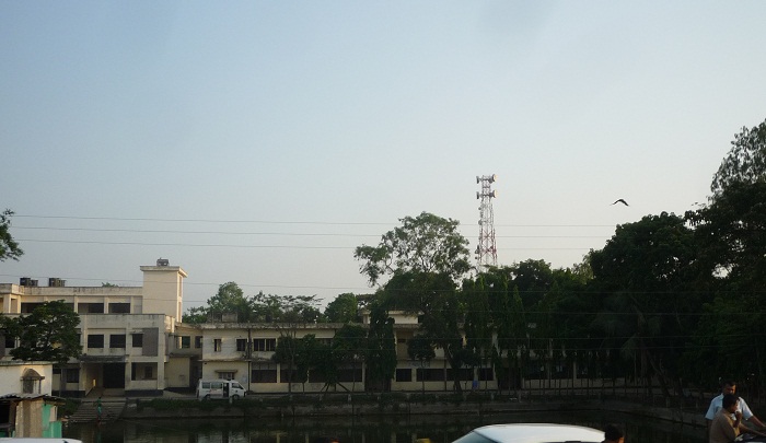
Below are some images of recent Daudkandi upazila, most of these images has taken on April, 2011.


Thanks a lot for viewing !
other posts in this blog:
Gouripur, Daudkandi Comilla - Images Part 1
A little about Daudkandi Upazila
Populations and Villages in Daudkandi Upazila
Educational Institutions in Daudkandi Upazila
1 comment:
I can not understand why people of Bangladesh is writing name of the river 'Gumti' instead of 'Gumati'. Gumti is Hindi term and river Gumti is in northern India.
Professor N.C. Ghosh
Post a Comment